Eastern boundary of Abercwmboi
Introduction
The photograph on this page of Eastern boundary of Abercwmboi by Jaggery as part of the Geograph project.
The Geograph project started in 2005 with the aim of publishing, organising and preserving representative images for every square kilometre of Great Britain, Ireland and the Isle of Man.

There are currently over 7.5m images from over 14,400 individuals and you can help contribute to the project by visiting https://www.geograph.org.uk
Eastern boundary of Abercwmboi
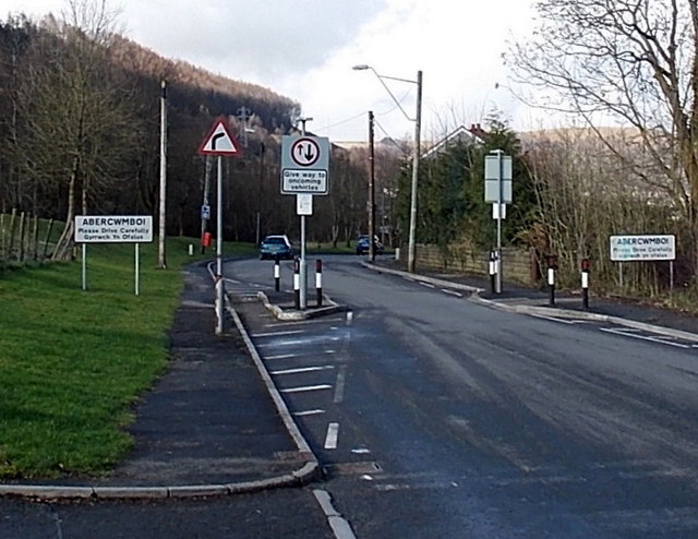
Image: © Jaggery Taken: 22 Feb 2014
Viewed along the B4275. Abercwmboi is a village between Mountain Ash and Aberdare.
Images are licensed for reuse under creativecommons.org/licenses/by-sa/2.0
Image Location
Latitude
51.687659
Longitude
-3.40373