Aberdare/Mountain Ash boundary marker
Introduction
The photograph on this page of Aberdare/Mountain Ash boundary marker by Jaggery as part of the Geograph project.
The Geograph project started in 2005 with the aim of publishing, organising and preserving representative images for every square kilometre of Great Britain, Ireland and the Isle of Man.

There are currently over 7.5m images from over 14,400 individuals and you can help contribute to the project by visiting https://www.geograph.org.uk
Aberdare/Mountain Ash boundary marker
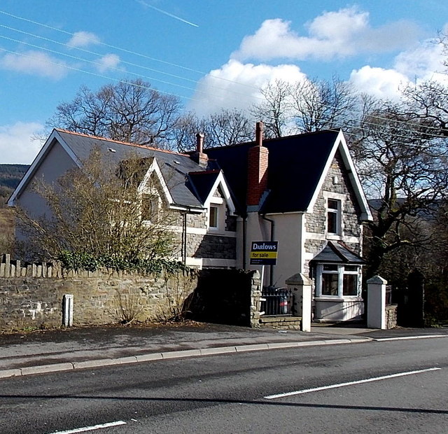
Image: © Jaggery Taken: 22 Feb 2014
Viewed across the B4275 Aberdare Road. On the left, a small marker on the wall shows Aberdare on its left side and Mountain Ash on its right. The physical boundary here is a stream named Cwm Boi. http://www.geograph.org.uk/photo/3857565
Images are licensed for reuse under creativecommons.org/licenses/by-sa/2.0
Image Location
Latitude
51.687417
Longitude
-3.401408