The old schoolhouse
Introduction
The photograph on this page of The old schoolhouse by John M as part of the Geograph project.
The Geograph project started in 2005 with the aim of publishing, organising and preserving representative images for every square kilometre of Great Britain, Ireland and the Isle of Man.

There are currently over 7.5m images from over 14,400 individuals and you can help contribute to the project by visiting https://www.geograph.org.uk
The old schoolhouse
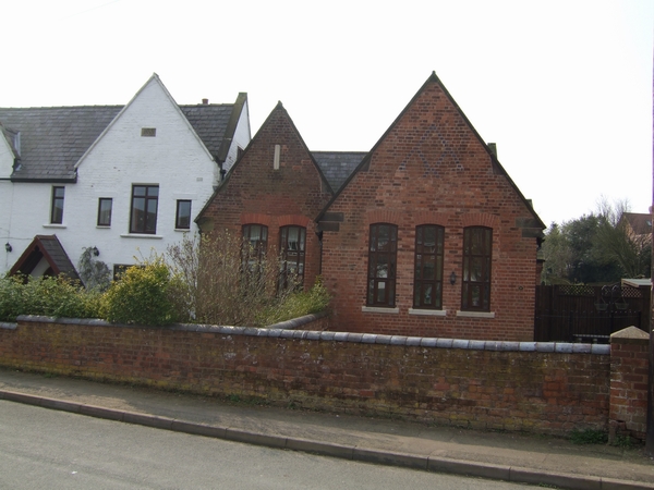
Image: © John M Taken: 31 Mar 2007
The white building is dated 1853. The school buildings have been converted into residential accommodation and further housing has been built in the courtyard behind.
Images are licensed for reuse under creativecommons.org/licenses/by-sa/2.0
Image Location


Leaflet Map data © OpenStreetMap
Latitude
52.709602
Longitude
-2.218868