Farmland to the east of Chaddesley Corbett
Introduction
The photograph on this page of Farmland to the east of Chaddesley Corbett by Philip Halling as part of the Geograph project.
The Geograph project started in 2005 with the aim of publishing, organising and preserving representative images for every square kilometre of Great Britain, Ireland and the Isle of Man.

There are currently over 7.5m images from over 14,400 individuals and you can help contribute to the project by visiting https://www.geograph.org.uk
Farmland to the east of Chaddesley Corbett
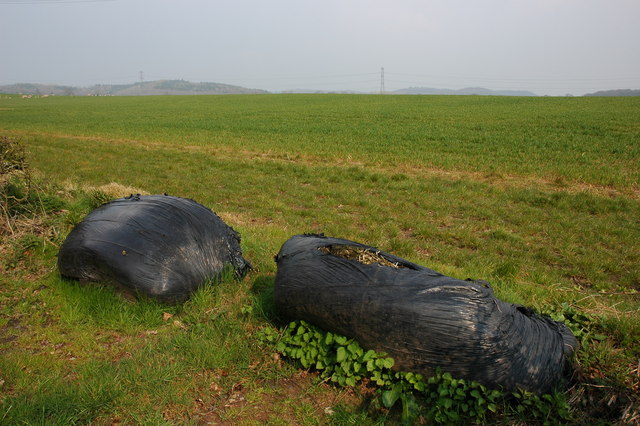
Image: © Philip Halling Taken: 31 Mar 2007
In the foreground two old silage bales block the entrance to the field.
Images are licensed for reuse under creativecommons.org/licenses/by-sa/2.0
Image Location
Latitude
52.349664
Longitude
-2.149552