Greengates Community Garden looking towards the war memorial
Introduction
The photograph on this page of Greengates Community Garden looking towards the war memorial by Linden Milner as part of the Geograph project.
The Geograph project started in 2005 with the aim of publishing, organising and preserving representative images for every square kilometre of Great Britain, Ireland and the Isle of Man.

There are currently over 7.5m images from over 14,400 individuals and you can help contribute to the project by visiting https://www.geograph.org.uk
Greengates Community Garden looking towards the war memorial
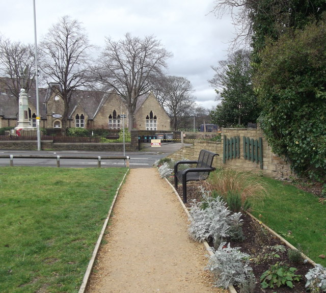
Image: © Linden Milner Taken: 21 Feb 2014
This is another view of Greengates Community Garden, looking towards the war memorial and the building belonging to QRI Ltd. which was previously the old village school.
Images are licensed for reuse under creativecommons.org/licenses/by-sa/2.0
Image Location
Latitude
53.831344
Longitude
-1.711432