Stoke Park Drive at Ashground Plantation
Introduction
The photograph on this page of Stoke Park Drive at Ashground Plantation by Hamish Griffin as part of the Geograph project.
The Geograph project started in 2005 with the aim of publishing, organising and preserving representative images for every square kilometre of Great Britain, Ireland and the Isle of Man.

There are currently over 7.5m images from over 14,400 individuals and you can help contribute to the project by visiting https://www.geograph.org.uk
Stoke Park Drive at Ashground Plantation
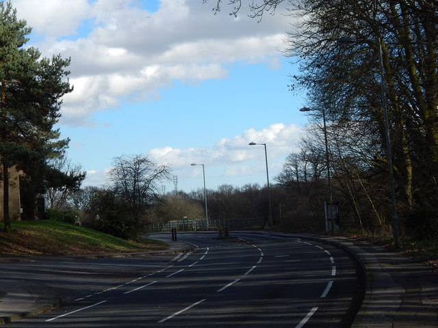
Image: © Hamish Griffin Taken: 21 Feb 2014
Downside Close is the road on the left.
Images are licensed for reuse under creativecommons.org/licenses/by-sa/2.0
Image Location
Latitude
52.031339
Longitude
1.131117