The Ideford Arch
Introduction
The photograph on this page of The Ideford Arch by David Smith as part of the Geograph project.
The Geograph project started in 2005 with the aim of publishing, organising and preserving representative images for every square kilometre of Great Britain, Ireland and the Isle of Man.

There are currently over 7.5m images from over 14,400 individuals and you can help contribute to the project by visiting https://www.geograph.org.uk
The Ideford Arch
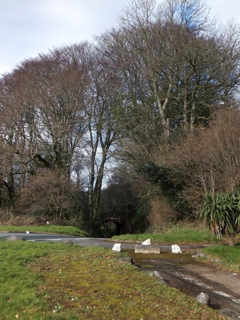
Image: © David Smith Taken: 18 Feb 2014
This once carried the A380 (Exeter - Newton Abbot) road, which now runs a short way beyond the bridge. Today it is crossed by a footpath which follows the route of the old road. Older maps call it the Chudleigh Arch
Images are licensed for reuse under creativecommons.org/licenses/by-sa/2.0
Image Location
Latitude
50.588013
Longitude
-3.574898