Bridge near Sutton Mill
Introduction
The photograph on this page of Bridge near Sutton Mill by Richard Webb as part of the Geograph project.
The Geograph project started in 2005 with the aim of publishing, organising and preserving representative images for every square kilometre of Great Britain, Ireland and the Isle of Man.

There are currently over 7.5m images from over 14,400 individuals and you can help contribute to the project by visiting https://www.geograph.org.uk
Bridge near Sutton Mill
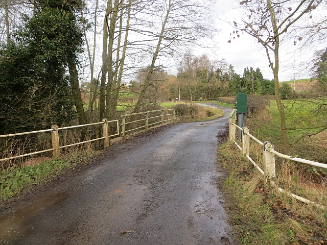
Image: © Richard Webb Taken: 15 Feb 2014
Bridge with river level gauge, the Kyre Brook is infamous for flooding Tenbury.
Images are licensed for reuse under creativecommons.org/licenses/by-sa/2.0
Image Location


Leaflet Map data © OpenStreetMap
Latitude
52.298005
Longitude
-2.558057