Brighton Road
Introduction
The photograph on this page of Brighton Road by Simon Carey as part of the Geograph project.
The Geograph project started in 2005 with the aim of publishing, organising and preserving representative images for every square kilometre of Great Britain, Ireland and the Isle of Man.

There are currently over 7.5m images from over 14,400 individuals and you can help contribute to the project by visiting https://www.geograph.org.uk
Brighton Road
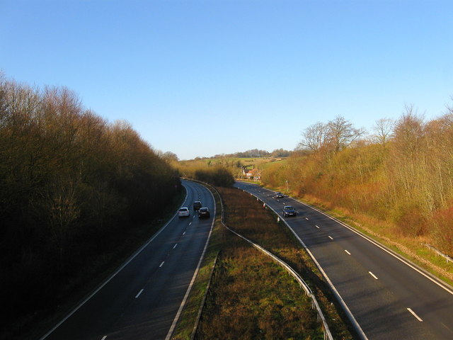
Image: © Simon Carey Taken: 16 Feb 2014
A view westwards of the A27 from Image This section was straightened and dualled in the early 1970s with the old course of the road beyond the trees to the right. Upper house dean Cottages can be seen in the distance.
Images are licensed for reuse under creativecommons.org/licenses/by-sa/2.0
Image Location
Latitude
50.866008
Longitude
-0.060935