Fields near Abbotskerswell
Introduction
The photograph on this page of Fields near Abbotskerswell by Derek Harper as part of the Geograph project.
The Geograph project started in 2005 with the aim of publishing, organising and preserving representative images for every square kilometre of Great Britain, Ireland and the Isle of Man.

There are currently over 7.5m images from over 14,400 individuals and you can help contribute to the project by visiting https://www.geograph.org.uk
Fields near Abbotskerswell
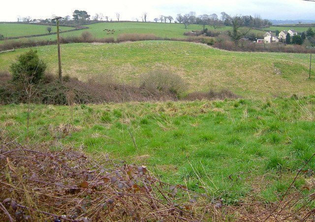
Image: © Derek Harper Taken: 26 Mar 2006
A view from the A381 towards Manor Road, the lane running from left to right across the other side of the valley, with trees around a former quarry in front of the houses, which are at the northern edge of the village. Cattle graze on the left.
Images are licensed for reuse under creativecommons.org/licenses/by-sa/2.0
Image Location
Latitude
50.511322
Longitude
-3.619029