Greenacres and Parklands, Newport
Introduction
The photograph on this page of Greenacres and Parklands, Newport by Jaggery as part of the Geograph project.
The Geograph project started in 2005 with the aim of publishing, organising and preserving representative images for every square kilometre of Great Britain, Ireland and the Isle of Man.

There are currently over 7.5m images from over 14,400 individuals and you can help contribute to the project by visiting https://www.geograph.org.uk
Greenacres and Parklands, Newport
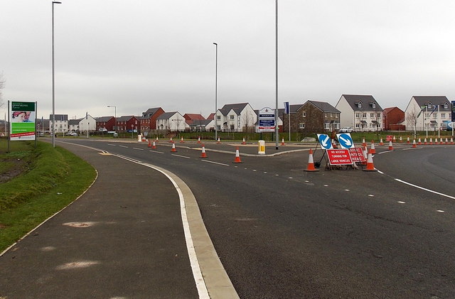
Image: © Jaggery Taken: 8 Jan 2013
Viewed from the edge of an A4810 roundabout in early January 2013. Houses are being built, or have recently been built, on land formerly part of Llanwern Steelworks. The board on the left is for the Persimmon Greenacres development. A Charles Church board on the right shows Parklands.
Images are licensed for reuse under creativecommons.org/licenses/by-sa/2.0
Image Location
Latitude
51.575063
Longitude
-2.936604