The Road to Hell?
Introduction
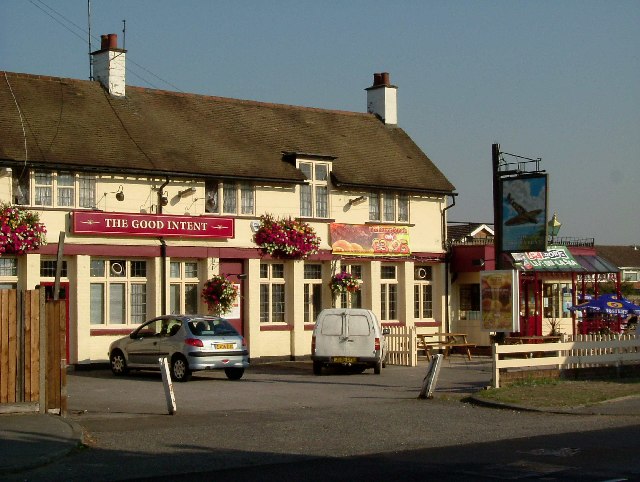
The photograph on this page of The Road to Hell? by Glyn Baker as part of the Geograph project.
The Geograph project started in 2005 with the aim of publishing, organising and preserving representative images for every square kilometre of Great Britain, Ireland and the Isle of Man.
There are currently over 7.5m images from over 14,400 individuals and you can help contribute to the project by visiting https://www.geograph.org.uk

Image: © Glyn Baker Taken: 16 Aug 2005
A pub on South End Road serving the residents of the "Airfield Estate". The road to hell was paved with the good intent of Flying Officer Raimund Sanders-Draper an American airman posted to RAF Hornchurch. His exploits were the subject of a Musical Play produced at the Queens Theatre in Hornchurch in 2003. Sanders-Draper was killed in 1943 during a crash landing, he stayed with his stricken aircraft so he could avoid crashing into the local school, he had sufficient height to bail out but chose to save the children. The school in Suttons Lane was renamed Sanders-Draper in his honour.

