Llanvaches playing field and byelaws board
Introduction
The photograph on this page of Llanvaches playing field and byelaws board by Jaggery as part of the Geograph project.
The Geograph project started in 2005 with the aim of publishing, organising and preserving representative images for every square kilometre of Great Britain, Ireland and the Isle of Man.

There are currently over 7.5m images from over 14,400 individuals and you can help contribute to the project by visiting https://www.geograph.org.uk
Llanvaches playing field and byelaws board
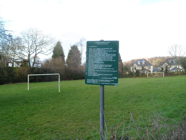
Image: © Jaggery Taken: 16 Feb 2012
On the west side of Rectory Road. The byelaws are extensive. http://www.geograph.org.uk/photo/3855541
Images are licensed for reuse under creativecommons.org/licenses/by-sa/2.0
Image Location
Latitude
51.623257
Longitude
-2.816398