The Arms, Lodsworth
Introduction
The photograph on this page of The Arms, Lodsworth by David960 as part of the Geograph project.
The Geograph project started in 2005 with the aim of publishing, organising and preserving representative images for every square kilometre of Great Britain, Ireland and the Isle of Man.

There are currently over 7.5m images from over 14,400 individuals and you can help contribute to the project by visiting https://www.geograph.org.uk
The Arms, Lodsworth
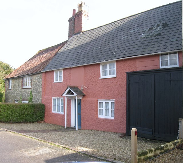
Image: © David960 Taken: 16 Feb 2014
The former Lodsworth Arms at Smithbrook, a beer house until 1956, locally known as "The Grubber".
Images are licensed for reuse under creativecommons.org/licenses/by-sa/2.0
Image Location
Latitude
51.004508
Longitude
-0.680033