Forestry, Ford and Footbridge
Introduction
The photograph on this page of Forestry, Ford and Footbridge by Dr Duncan Pepper as part of the Geograph project.
The Geograph project started in 2005 with the aim of publishing, organising and preserving representative images for every square kilometre of Great Britain, Ireland and the Isle of Man.

There are currently over 7.5m images from over 14,400 individuals and you can help contribute to the project by visiting https://www.geograph.org.uk
Forestry, Ford and Footbridge
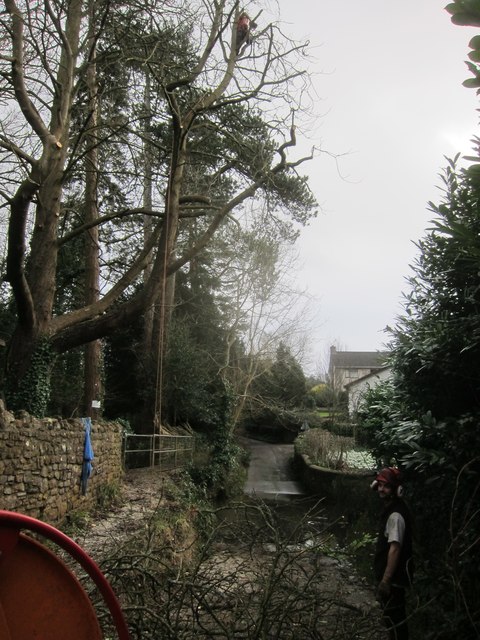
Image: © Dr Duncan Pepper Taken: 19 Feb 2014
Hard to believe that this is a public road-just at the point where the Winford Brook flows out of the Chew Magna reservoir. Look carefully and you will see a tree surgeon perched in the top of the tree.
Images are licensed for reuse under creativecommons.org/licenses/by-sa/2.0
Image Location
Latitude
51.367031
Longitude
-2.619633