Field access track and bridleway, near Handsford Farm
Introduction
The photograph on this page of Field access track and bridleway, near Handsford Farm by David Smith as part of the Geograph project.
The Geograph project started in 2005 with the aim of publishing, organising and preserving representative images for every square kilometre of Great Britain, Ireland and the Isle of Man.

There are currently over 7.5m images from over 14,400 individuals and you can help contribute to the project by visiting https://www.geograph.org.uk
Field access track and bridleway, near Handsford Farm
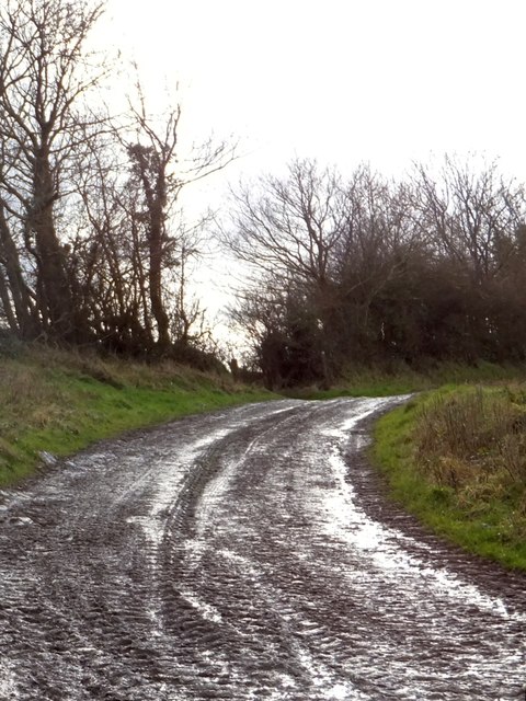
Image: © David Smith Taken: 10 Feb 2014
The bridleway runs round the north of the farm. A hundred years ago, maps show that the right of way ran through the farm buildings.
Images are licensed for reuse under creativecommons.org/licenses/by-sa/2.0
Image Location
Latitude
50.880947
Longitude
-3.809079