The end of Thurleston Lane at Henley Road, Thurleston
Introduction
The photograph on this page of The end of Thurleston Lane at Henley Road, Thurleston by Hamish Griffin as part of the Geograph project.
The Geograph project started in 2005 with the aim of publishing, organising and preserving representative images for every square kilometre of Great Britain, Ireland and the Isle of Man.

There are currently over 7.5m images from over 14,400 individuals and you can help contribute to the project by visiting https://www.geograph.org.uk
The end of Thurleston Lane at Henley Road, Thurleston
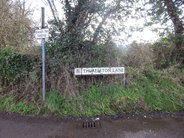
Image: © Hamish Griffin Taken: 18 Feb 2014
The end (or start if you are going the other way) of Thurleston Lane at Henley Road, Thurleston. Past the speed limit signs from http://www.geograph.org.uk/photo/3853681.
Images are licensed for reuse under creativecommons.org/licenses/by-sa/2.0
Image Location
Latitude
52.089407
Longitude
1.152558