B3042 on Burridge Moor
Introduction
The photograph on this page of B3042 on Burridge Moor by David Smith as part of the Geograph project.
The Geograph project started in 2005 with the aim of publishing, organising and preserving representative images for every square kilometre of Great Britain, Ireland and the Isle of Man.

There are currently over 7.5m images from over 14,400 individuals and you can help contribute to the project by visiting https://www.geograph.org.uk
B3042 on Burridge Moor
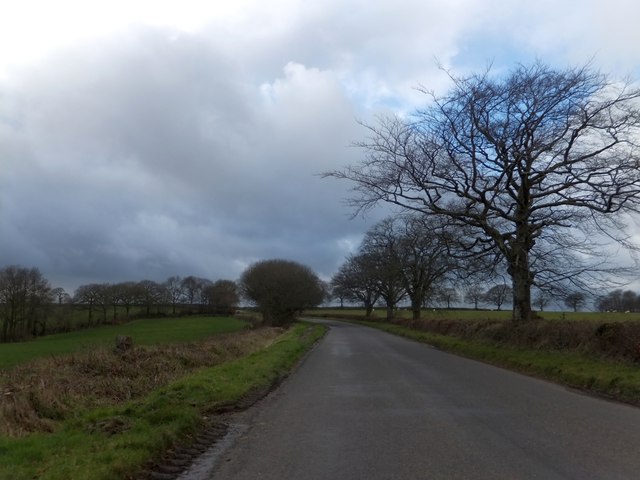
Image: © David Smith Taken: 10 Feb 2014
The trees on the left form a field boundary and run alongside a small stream. A line of trees on the right horizon mark the road north from Burridge Moor Cross Image
Images are licensed for reuse under creativecommons.org/licenses/by-sa/2.0
Image Location


Leaflet Map data © OpenStreetMap
Latitude
50.890086
Longitude
-3.782134