Victoria Way, adverse gradient
Introduction
The photograph on this page of Victoria Way, adverse gradient by Stephen Craven as part of the Geograph project.
The Geograph project started in 2005 with the aim of publishing, organising and preserving representative images for every square kilometre of Great Britain, Ireland and the Isle of Man.

There are currently over 7.5m images from over 14,400 individuals and you can help contribute to the project by visiting https://www.geograph.org.uk
Victoria Way, adverse gradient
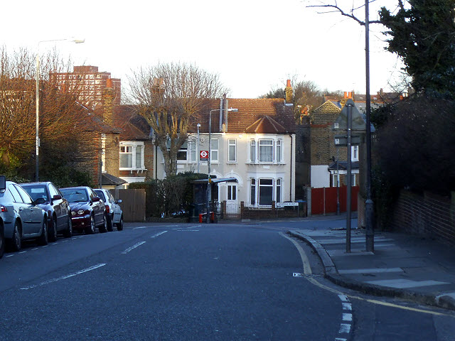
Image: © Stephen Craven Taken: 16 Feb 2014
Victoria way generally rises north to south, gaining 40m of height in just over 1km. But here it turns eastward and drops 5 metres.
Images are licensed for reuse under creativecommons.org/licenses/by-sa/2.0
Image Location
Latitude
51.483582
Longitude
0.028233