North end of Warspite Road
Introduction
The photograph on this page of North end of Warspite Road by Stephen Craven as part of the Geograph project.
The Geograph project started in 2005 with the aim of publishing, organising and preserving representative images for every square kilometre of Great Britain, Ireland and the Isle of Man.

There are currently over 7.5m images from over 14,400 individuals and you can help contribute to the project by visiting https://www.geograph.org.uk
North end of Warspite Road
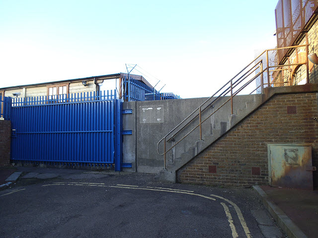
Image: © Stephen Craven Taken: 16 Feb 2014
At one time this road - originally named Trinity Road - would have led directly onto the slipway called Trinity Wharf, but now terminates in the high concrete wall of the Thames flood defences, crossed by a flight of steps.
Images are licensed for reuse under creativecommons.org/licenses/by-sa/2.0
Image Location
Latitude
51.494986
Longitude
0.044731