Pylon near Roborough
Introduction
The photograph on this page of Pylon near Roborough by Derek Harper as part of the Geograph project.
The Geograph project started in 2005 with the aim of publishing, organising and preserving representative images for every square kilometre of Great Britain, Ireland and the Isle of Man.

There are currently over 7.5m images from over 14,400 individuals and you can help contribute to the project by visiting https://www.geograph.org.uk
Pylon near Roborough
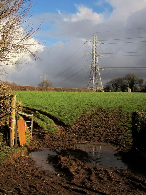
Image: © Derek Harper Taken: 15 Feb 2014
The trees behind the pylon on the right show the course of the Devonport Leat. View from Tamerton Road at the entrance to Roborough House Care Home.
Images are licensed for reuse under creativecommons.org/licenses/by-sa/2.0
Image Location
Latitude
50.445224
Longitude
-4.112138