Railway embankment, Rochester
Introduction
The photograph on this page of Railway embankment, Rochester by David Anstiss as part of the Geograph project.
The Geograph project started in 2005 with the aim of publishing, organising and preserving representative images for every square kilometre of Great Britain, Ireland and the Isle of Man.

There are currently over 7.5m images from over 14,400 individuals and you can help contribute to the project by visiting https://www.geograph.org.uk
Railway embankment, Rochester
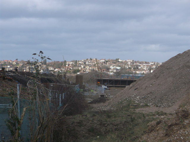
Image: © David Anstiss Taken: 9 Feb 2014
The railway embankment on the left has been cleared of trees and shrubs. On the right is a large spoil heap made from the digging of the new foundations (in the background) for the 'new' Rochester Railway Station. In the far background is the suburbs of Strood.
Images are licensed for reuse under creativecommons.org/licenses/by-sa/2.0
Image Location
Latitude
51.388319
Longitude
0.508119