A crossroads on the B4196 road, near Astley, Worcs
Introduction
The photograph on this page of A crossroads on the B4196 road, near Astley, Worcs by P L Chadwick as part of the Geograph project.
The Geograph project started in 2005 with the aim of publishing, organising and preserving representative images for every square kilometre of Great Britain, Ireland and the Isle of Man.

There are currently over 7.5m images from over 14,400 individuals and you can help contribute to the project by visiting https://www.geograph.org.uk
A crossroads on the B4196 road, near Astley, Worcs
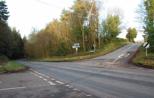
Image: © P L Chadwick Taken: 16 Feb 2014
Coming in on the left is Church Lane. On the right is Bull Hill (the street name plate shows this), or Bull Hill Lane, according to some maps.
Images are licensed for reuse under creativecommons.org/licenses/by-sa/2.0
Image Location
Latitude
52.308309
Longitude
-2.293297