Pensford Hill benchmark
Introduction
The photograph on this page of Pensford Hill benchmark by Neil Owen as part of the Geograph project.
The Geograph project started in 2005 with the aim of publishing, organising and preserving representative images for every square kilometre of Great Britain, Ireland and the Isle of Man.

There are currently over 7.5m images from over 14,400 individuals and you can help contribute to the project by visiting https://www.geograph.org.uk
Pensford Hill benchmark
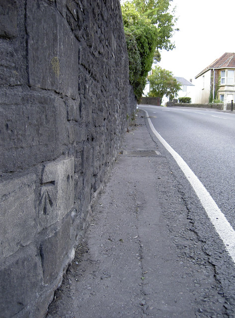
Image: © Neil Owen Taken: 28 Jul 2011
Cut into the walling of a former Methodist chapel. See Image] for a look at the chapel and http://www.bench-marks.org.uk/bm54741 for the entry in the Benchmark Database.
Images are licensed for reuse under creativecommons.org/licenses/by-sa/2.0
Image Location
Latitude
51.37313
Longitude
-2.550757