Across a former railway bridge in Swindon
Introduction
The photograph on this page of Across a former railway bridge in Swindon by Jaggery as part of the Geograph project.
The Geograph project started in 2005 with the aim of publishing, organising and preserving representative images for every square kilometre of Great Britain, Ireland and the Isle of Man.

There are currently over 7.5m images from over 14,400 individuals and you can help contribute to the project by visiting https://www.geograph.org.uk
Across a former railway bridge in Swindon
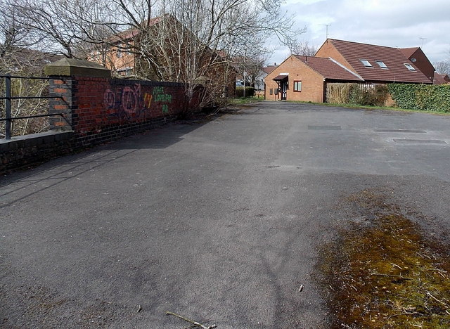
Image: © Jaggery Taken: 14 Apr 2013
Looking along the top of this http://www.geograph.org.uk/photo/3851161 bridge, towards houses in Berenger Close, built across the former railway trackbed.
Images are licensed for reuse under creativecommons.org/licenses/by-sa/2.0
Image Location


Leaflet Map data © OpenStreetMap
Latitude
51.547742
Longitude
-1.77224