End of the white water course, National Watersports Centre
Introduction
The photograph on this page of End of the white water course, National Watersports Centre by Lynne Kirton as part of the Geograph project.
The Geograph project started in 2005 with the aim of publishing, organising and preserving representative images for every square kilometre of Great Britain, Ireland and the Isle of Man.

There are currently over 7.5m images from over 14,400 individuals and you can help contribute to the project by visiting https://www.geograph.org.uk
End of the white water course, National Watersports Centre
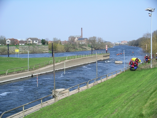
Image: © Lynne Kirton Taken: 1 Apr 2007
The end of the canoe slalom/rafting course where it rejoins the river Trent. For more information about the National Watersports Centre, see http://www.nationalwatersportsevents.co.uk/v4/res_website.asp?supplierCode=nwc100 The building with the tall chimney, across the river, is the derelict Colwick sugar factory.
Images are licensed for reuse under creativecommons.org/licenses/by-sa/2.0
Image Location
Latitude
52.94818
Longitude
-1.083777