Redhill, NG5, Notts.
Introduction
The photograph on this page of Redhill, NG5, Notts. by David Hallam-Jones as part of the Geograph project.
The Geograph project started in 2005 with the aim of publishing, organising and preserving representative images for every square kilometre of Great Britain, Ireland and the Isle of Man.

There are currently over 7.5m images from over 14,400 individuals and you can help contribute to the project by visiting https://www.geograph.org.uk
Redhill, NG5, Notts.
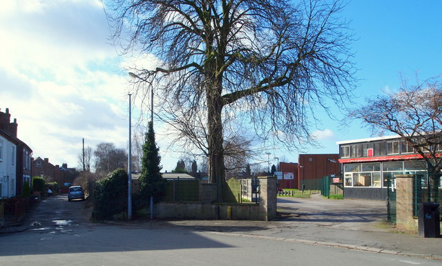
Image: © David Hallam-Jones Taken: 16 Feb 2014
Redhill Road turns to the left here in front of the entrance into Cherry Close (an unadopted cul-de-sac). Redhill Academy, formerly Redhill Comprehensive School, is seen on the right.
Images are licensed for reuse under creativecommons.org/licenses/by-sa/2.0
Image Location
Latitude
53.007684
Longitude
-1.130805