Holbrook, Lower Farm Road
Introduction
The photograph on this page of Holbrook, Lower Farm Road by Robin Webster as part of the Geograph project.
The Geograph project started in 2005 with the aim of publishing, organising and preserving representative images for every square kilometre of Great Britain, Ireland and the Isle of Man.

There are currently over 7.5m images from over 14,400 individuals and you can help contribute to the project by visiting https://www.geograph.org.uk
Holbrook, Lower Farm Road
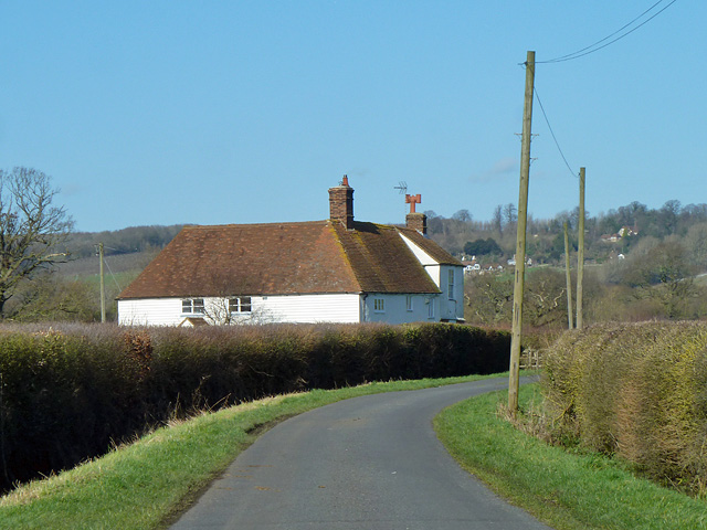
Image: © Robin Webster Taken: 16 Feb 2014
A grade II listed building, formerly cottages, now a house. 17th century, with early 19th century addition and facade.
Images are licensed for reuse under creativecommons.org/licenses/by-sa/2.0
Image Location
Latitude
51.201216
Longitude
0.551337