Redhill, NG5, Notts.
Introduction
The photograph on this page of Redhill, NG5, Notts. by David Hallam-Jones as part of the Geograph project.
The Geograph project started in 2005 with the aim of publishing, organising and preserving representative images for every square kilometre of Great Britain, Ireland and the Isle of Man.

There are currently over 7.5m images from over 14,400 individuals and you can help contribute to the project by visiting https://www.geograph.org.uk
Redhill, NG5, Notts.
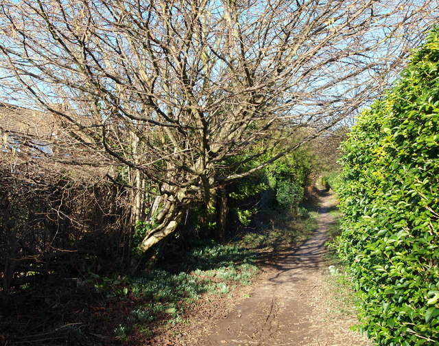
Image: © David Hallam-Jones Taken: 16 Feb 2014
A footpath running parallel with the rear gardens of houses on Richmond Gardens (on the left). This particular spot is a few hundred metres from the A60 (the main Nottingham-Mansfield Road) and is part of a public footpath that links Harberton Close and the western edge of Bestwood Country Park.
Images are licensed for reuse under creativecommons.org/licenses/by-sa/2.0
Image Location
Latitude
53.012299
Longitude
-1.135035