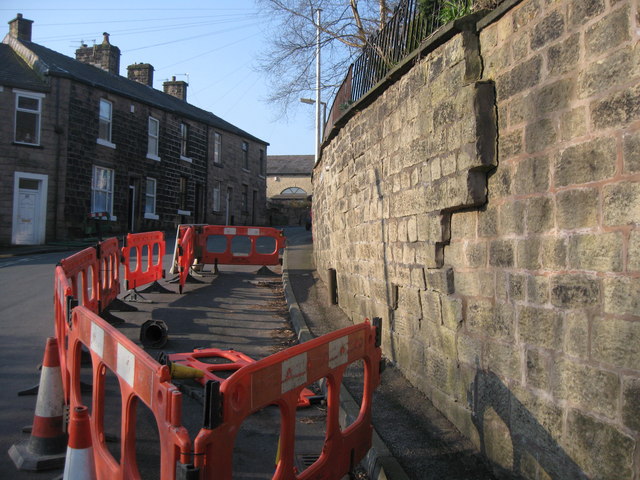
Subsidence on Tanners Street
Introduction
The photograph on this page of Subsidence on Tanners Street by Paul Anderson as part of the Geograph project.
The Geograph project started in 2005 with the aim of publishing, organising and preserving representative images for every square kilometre of Great Britain, Ireland and the Isle of Man.
There are currently over 7.5m images from over 14,400 individuals and you can help contribute to the project by visiting https://www.geograph.org.uk

Image: © Paul Anderson Taken: 2 Apr 2007
This large supporting wall at the junction of Tanners Street and Rostron Street in Ramsbottom started to subside in March 2007. Set back above the wall on top of the embankment are a row of cottages. As you can see from the picture the stone wall is in danger of collapse after splitting from top to bottom and there is the prospect that this could a major job to put right on what is a busy road at peak times.

