Field near Hawkes End
Introduction
The photograph on this page of Field near Hawkes End by E Gammie as part of the Geograph project.
The Geograph project started in 2005 with the aim of publishing, organising and preserving representative images for every square kilometre of Great Britain, Ireland and the Isle of Man.

There are currently over 7.5m images from over 14,400 individuals and you can help contribute to the project by visiting https://www.geograph.org.uk
Field near Hawkes End
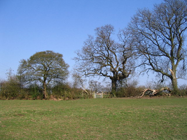
Image: © E Gammie Taken: 1 Apr 2007
Looking towards the gate on the footpath between Hawkes Mill Lane and Browns Lane. Metal gates have replaced many of the wooden stiles round here. Sheep with lambs are in the field beyond.
Images are licensed for reuse under creativecommons.org/licenses/by-sa/2.0
Image Location
Latitude
52.439841
Longitude
-1.562606