Red Hill, Redhill, NG5, Notts.
Introduction
The photograph on this page of Red Hill, Redhill, NG5, Notts. by David Hallam-Jones as part of the Geograph project.
The Geograph project started in 2005 with the aim of publishing, organising and preserving representative images for every square kilometre of Great Britain, Ireland and the Isle of Man.

There are currently over 7.5m images from over 14,400 individuals and you can help contribute to the project by visiting https://www.geograph.org.uk
Red Hill, Redhill, NG5, Notts.
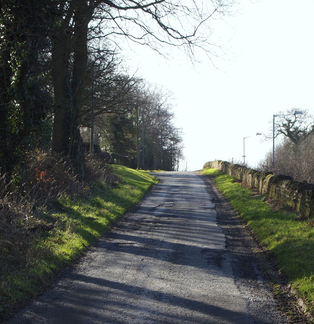
Image: © David Hallam-Jones Taken: 16 Feb 2014
This minor road is a left-hand turning off the main Mansfield-Nottingham Road (the A60) 500m south of the unofficially-named "Banyan Tree roundabout". This is part of the former London-York (via Nottingham) Road as it rises up Red Hill Ridge, parallel with the A60 that is situated on the other side of the stone wall. In 1218 this stretch of the road was referred to as the "rubeam rodam" (the red road)" according to the Revs. R.W. King & J. Russell (eds), in "A History of Arnold" (1913). At the crown of the hill a road bridge to the right carries a limited amount of traffic over the A60 to another part of this hamlet; to the Leapool Allotments site (Gedling Borough Council) and to two covered reservoirs, the Redhill and the Wernbank reservoirs.
Images are licensed for reuse under creativecommons.org/licenses/by-sa/2.0
Image Location
Latitude
53.018023
Longitude
-1.131044