Bridge over the East Allen
Introduction
The photograph on this page of Bridge over the East Allen by Mike Quinn as part of the Geograph project.
The Geograph project started in 2005 with the aim of publishing, organising and preserving representative images for every square kilometre of Great Britain, Ireland and the Isle of Man.

There are currently over 7.5m images from over 14,400 individuals and you can help contribute to the project by visiting https://www.geograph.org.uk
Bridge over the East Allen
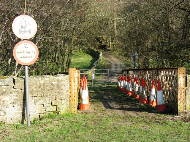
Image: © Mike Quinn Taken: 1 Apr 2007
View from the west bank of the river showing the bridge and the track winding up to Studdondene and the B6295.
Images are licensed for reuse under creativecommons.org/licenses/by-sa/2.0
Image Location
Latitude
54.879318
Longitude
-2.255883