Red Hill, Redhill, NG5, Notts.
Introduction
The photograph on this page of Red Hill, Redhill, NG5, Notts. by David Hallam-Jones as part of the Geograph project.
The Geograph project started in 2005 with the aim of publishing, organising and preserving representative images for every square kilometre of Great Britain, Ireland and the Isle of Man.

There are currently over 7.5m images from over 14,400 individuals and you can help contribute to the project by visiting https://www.geograph.org.uk
Red Hill, Redhill, NG5, Notts.
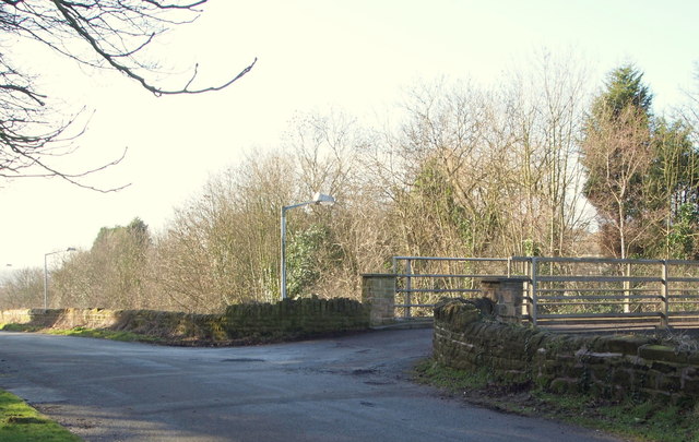
Image: © David Hallam-Jones Taken: 16 Feb 2014
The Leapool Allotment site (owned by the Borough of Gedling); a row of well-established and expensive homes; plus the Redhill covered reservoir (managed by the Severn Trent Company) are all situated on other side of this bridge. The A60 (the Nottingham-Mansfield Road) runs beneath it. This is the crown of the hill - through which a path for the A60 was cut - and this short 'branch' road descends both in front of the photographer and behind too. The access points and exits to/from this branch road are onto and from the A60.
Images are licensed for reuse under creativecommons.org/licenses/by-sa/2.0
Image Location
Latitude
53.017575
Longitude
-1.131202