Arch Hill & Mansfield Road, Redhill, Notts
Introduction
The photograph on this page of Arch Hill & Mansfield Road, Redhill, Notts by David Hallam-Jones as part of the Geograph project.
The Geograph project started in 2005 with the aim of publishing, organising and preserving representative images for every square kilometre of Great Britain, Ireland and the Isle of Man.

There are currently over 7.5m images from over 14,400 individuals and you can help contribute to the project by visiting https://www.geograph.org.uk
Arch Hill & Mansfield Road, Redhill, Notts
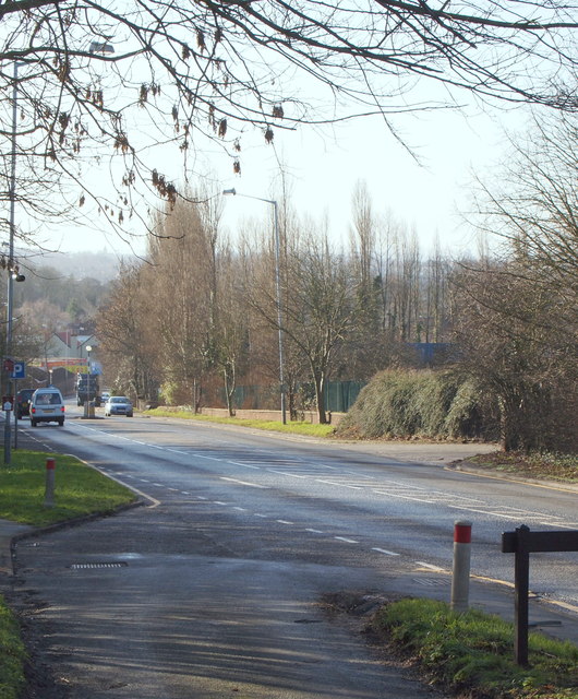
Image: © David Hallam-Jones Taken: 16 Feb 2014
With the hamlet of Red Hill, Redhill, behind the photographer, this is Arch Hill/Mansfield Road (i.e. the A60) ascending towards the suburb of Redhill. Also behind the photographer is the Leapool Allotment site that is owned by Gedling Borough Council. These are situated on the other side of the road bridge that straddles the A60 behind the photographer, approx 100yds away.
Images are licensed for reuse under creativecommons.org/licenses/by-sa/2.0
Image Location


Leaflet Map data © OpenStreetMap
Latitude
53.0156
Longitude
-1.13154