Gleniffer Braes from the air
Introduction
The photograph on this page of Gleniffer Braes from the air by Thomas Nugent as part of the Geograph project.
The Geograph project started in 2005 with the aim of publishing, organising and preserving representative images for every square kilometre of Great Britain, Ireland and the Isle of Man.

There are currently over 7.5m images from over 14,400 individuals and you can help contribute to the project by visiting https://www.geograph.org.uk
Gleniffer Braes from the air
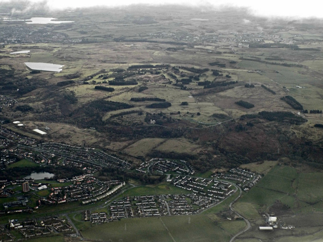
Image: © Thomas Nugent Taken: 10 Feb 2014
Gleniffer Road duns horizontally through the centre of the photo. Paisley Golf Course is prominent near the centre, with Barrhead and Neilston in the distance.
Images are licensed for reuse under creativecommons.org/licenses/by-sa/2.0
Image Location
Latitude
55.821631
Longitude
-4.483638