The valley of the Ash Brook
Introduction
The photograph on this page of The valley of the Ash Brook by David Smith as part of the Geograph project.
The Geograph project started in 2005 with the aim of publishing, organising and preserving representative images for every square kilometre of Great Britain, Ireland and the Isle of Man.

There are currently over 7.5m images from over 14,400 individuals and you can help contribute to the project by visiting https://www.geograph.org.uk
The valley of the Ash Brook
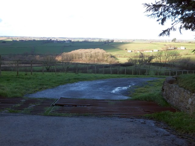
Image: © David Smith Taken: 10 Feb 2014
The track leads to Higher Furzeland. Beyond the wood is Frostland; presumably the names were descriptive at some time in the past.
Images are licensed for reuse under creativecommons.org/licenses/by-sa/2.0
Image Location
Latitude
50.816058
Longitude
-3.723097