Waun Ffyrdd
Introduction
The photograph on this page of Waun Ffyrdd by Alan Richards as part of the Geograph project.
The Geograph project started in 2005 with the aim of publishing, organising and preserving representative images for every square kilometre of Great Britain, Ireland and the Isle of Man.

There are currently over 7.5m images from over 14,400 individuals and you can help contribute to the project by visiting https://www.geograph.org.uk
Waun Ffyrdd
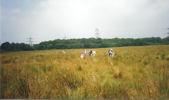
Image: © Alan Richards Taken: 15 Jul 1995
Cerddwyr yn dilyn llwybr cyhoeddus drwy gae yn llawn brwyn o'r enw Waun Ffyrdd. Cysyllta'r llwybr Ffarm Bryn Chwilach ag anhedd-dy Penywaun Fach. Walkers following a footpath through a field of rushes known as Waun Ffyrdd (fen/meadow of ways?). The footpath links Bryn Whilach Farm (trans.poss. hill of beetles) with Penywaun Fach Cottage (trans. end of the fen/meadow)
Images are licensed for reuse under creativecommons.org/licenses/by-sa/2.0
Image Location
Latitude
51.687297
Longitude
-3.962289