Farmland near Wombourne, Staffordshire
Introduction
The photograph on this page of Farmland near Wombourne, Staffordshire by Roger D Kidd as part of the Geograph project.
The Geograph project started in 2005 with the aim of publishing, organising and preserving representative images for every square kilometre of Great Britain, Ireland and the Isle of Man.

There are currently over 7.5m images from over 14,400 individuals and you can help contribute to the project by visiting https://www.geograph.org.uk
Farmland near Wombourne, Staffordshire
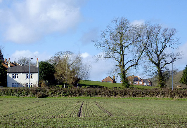
Image: © Roger D Kidd Taken: 11 Feb 2014
Behind the hedge, and to the right of the white house, is the junction of Gilbert Lane and Smallbrook Lane (and High Street off to the left).
Images are licensed for reuse under creativecommons.org/licenses/by-sa/2.0
Image Location
Latitude
52.536975
Longitude
-2.179086