Swinstead Road
Introduction
The photograph on this page of Swinstead Road by Kate Jewell as part of the Geograph project.
The Geograph project started in 2005 with the aim of publishing, organising and preserving representative images for every square kilometre of Great Britain, Ireland and the Isle of Man.

There are currently over 7.5m images from over 14,400 individuals and you can help contribute to the project by visiting https://www.geograph.org.uk
Swinstead Road
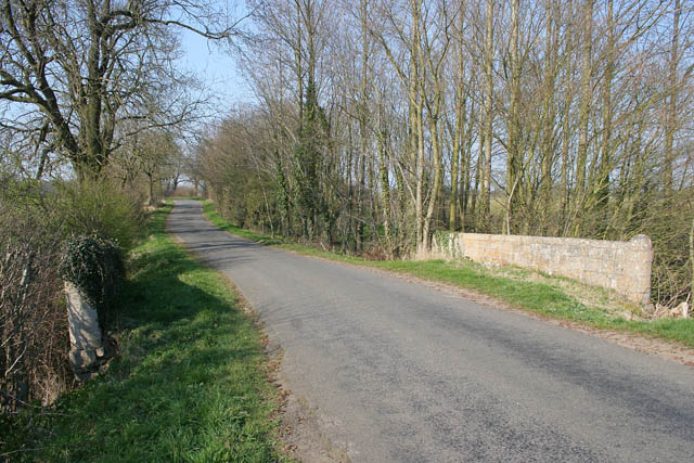
Image: © Kate Jewell Taken: 1 Apr 2007
Looking north towards Irnham. The stream under the bridge discharges into the lake at Grimsthorpe Castle in Image
Images are licensed for reuse under creativecommons.org/licenses/by-sa/2.0
Image Location


Leaflet Map data © OpenStreetMap
Latitude
52.808676
Longitude
-0.480669