War memorial in Dukinfield
Introduction
The photograph on this page of War memorial in Dukinfield by Bill Boaden as part of the Geograph project.
The Geograph project started in 2005 with the aim of publishing, organising and preserving representative images for every square kilometre of Great Britain, Ireland and the Isle of Man.

There are currently over 7.5m images from over 14,400 individuals and you can help contribute to the project by visiting https://www.geograph.org.uk
War memorial in Dukinfield
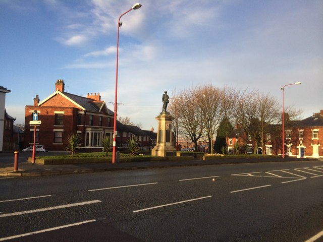
Image: © Bill Boaden Taken: 10 Feb 2014
Dukinfield doesn't appear to have a centre, but has a bit of focus here on Crescent Road and another bit down on King Street. The war memorial must be on the highest point of Dukinfield.
Images are licensed for reuse under creativecommons.org/licenses/by-sa/2.0
Image Location
Latitude
53.477884
Longitude
-2.087201