Riverbank track, Upper Boat
Introduction
The photograph on this page of Riverbank track, Upper Boat by Jaggery as part of the Geograph project.
The Geograph project started in 2005 with the aim of publishing, organising and preserving representative images for every square kilometre of Great Britain, Ireland and the Isle of Man.

There are currently over 7.5m images from over 14,400 individuals and you can help contribute to the project by visiting https://www.geograph.org.uk
Riverbank track, Upper Boat
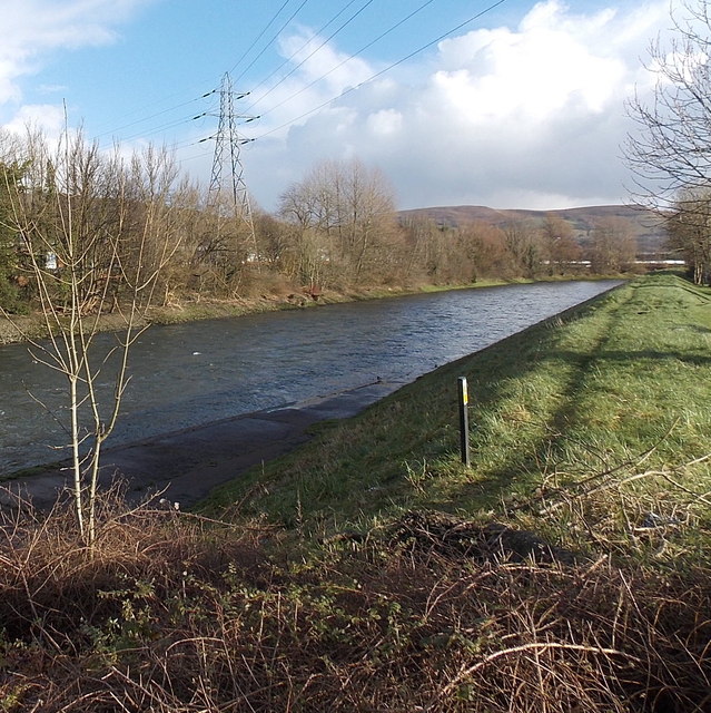
Image: © Jaggery Taken: 13 Feb 2014
The track alongside the River Taff heads SE away from this road bridge. http://www.geograph.org.uk/photo/3847556
Images are licensed for reuse under creativecommons.org/licenses/by-sa/2.0
Image Location
Latitude
51.573673
Longitude
-3.291411