The Upper Newtownards Road, Rosepark, Belfast
Introduction
The photograph on this page of The Upper Newtownards Road, Rosepark, Belfast by Albert Bridge as part of the Geograph project.
The Geograph project started in 2005 with the aim of publishing, organising and preserving representative images for every square kilometre of Great Britain, Ireland and the Isle of Man.

There are currently over 7.5m images from over 14,400 individuals and you can help contribute to the project by visiting https://www.geograph.org.uk
The Upper Newtownards Road, Rosepark, Belfast
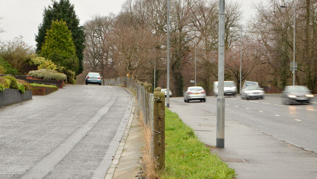
Image: © Albert Bridge Taken: 14 Feb 2014
The original line (on the inward side of Rosepark) of the Upper Newtownards Road which still serves local housing. The four-lane replacement (1960’s - I think) is on the right.
Images are licensed for reuse under creativecommons.org/licenses/by-sa/2.0
Image Location
Latitude
54.594565
Longitude
-5.829169