Abergavenny Station
Introduction
The photograph on this page of Abergavenny Station by Alan Bowring as part of the Geograph project.
The Geograph project started in 2005 with the aim of publishing, organising and preserving representative images for every square kilometre of Great Britain, Ireland and the Isle of Man.

There are currently over 7.5m images from over 14,400 individuals and you can help contribute to the project by visiting https://www.geograph.org.uk
Abergavenny Station
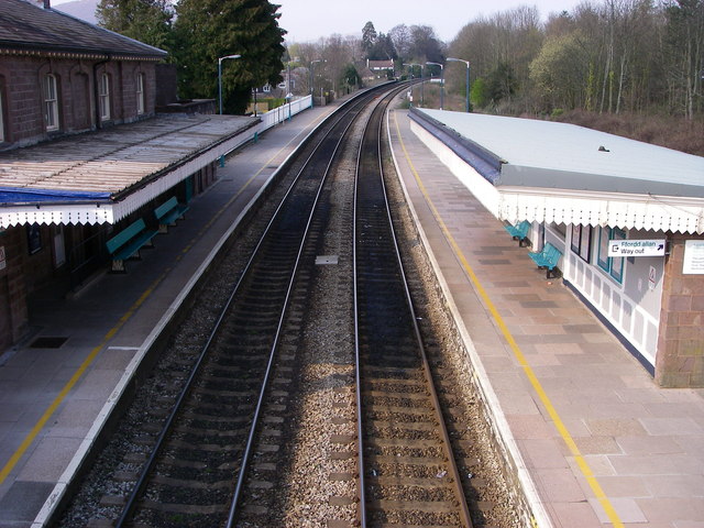
Image: © Alan Bowring Taken: 1 Apr 2007
Looking north along the line to Hereford from the pedestrian bridge across the railway. Abergavenny's other railway which looped off this line to Llanfoist bound for Brynmawr has long since gone.
Images are licensed for reuse under creativecommons.org/licenses/by-sa/2.0
Image Location
Latitude
51.817682
Longitude
-3.009089