Field next to the old canal
Introduction
The photograph on this page of Field next to the old canal by Chris as part of the Geograph project.
The Geograph project started in 2005 with the aim of publishing, organising and preserving representative images for every square kilometre of Great Britain, Ireland and the Isle of Man.

There are currently over 7.5m images from over 14,400 individuals and you can help contribute to the project by visiting https://www.geograph.org.uk
Field next to the old canal
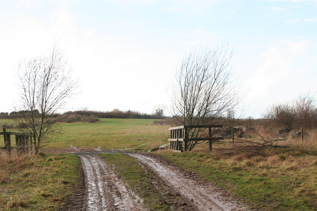
Image: © Chris Taken: 12 Feb 2014
There are "Marl heaps" and "Workings" marked nearby. This was all part of a gypsum quarry, now closed. See Image Incidentally, of the canal's 33 miles, the 5 mile section between Cotgrave and Kinoulton is "dry". This stretch has presented problems since construction in the 18th century, since the gypsum in the soil reacted with the waterproof clay, leading to leaking. See: http://en.wikipedia.org/wiki/Grantham_Canal
Images are licensed for reuse under creativecommons.org/licenses/by-sa/2.0
Image Location
Latitude
52.909241
Longitude
-0.993149