
The Shute
Introduction
The photograph on this page of The Shute by Graham Loveland as part of the Geograph project.
The Geograph project started in 2005 with the aim of publishing, organising and preserving representative images for every square kilometre of Great Britain, Ireland and the Isle of Man.

There are currently over 7.5m images from over 14,400 individuals and you can help contribute to the project by visiting https://www.geograph.org.uk
The Shute
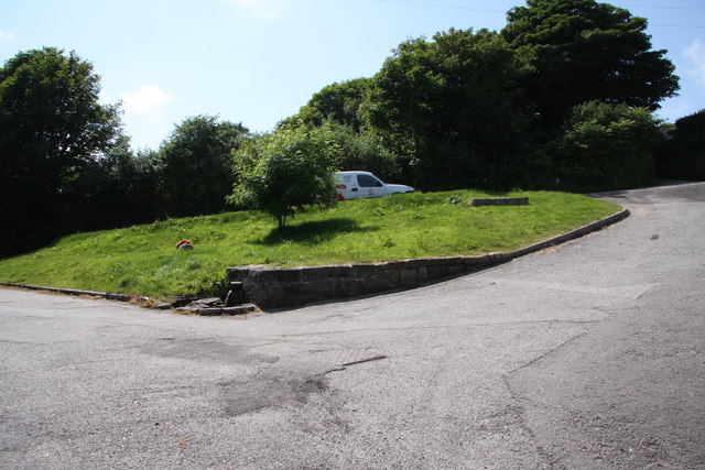
Image: © Graham Loveland Taken: 4 Jul 2013
The Shute, on the eponymous Shute Hill, flows non-stop regardless of the level of rainfall. Reputedly it has never been known to dry up. The water is believed to originate from ground water under the mass of Carn Marth, to the west, and is potable. People still come to fill containers from it. In days gone by villagers from Carharrack would come here not just to collect water but also to do the weekly wash. Old photographs show the shute looking just the same as it does now.
Images are licensed for reuse under creativecommons.org/licenses/by-sa/2.0
Image Location

Latitude
50.22732
Longitude
-5.186951