Drum of Carron.
Introduction
The photograph on this page of Drum of Carron. by alan souter as part of the Geograph project.
The Geograph project started in 2005 with the aim of publishing, organising and preserving representative images for every square kilometre of Great Britain, Ireland and the Isle of Man.

There are currently over 7.5m images from over 14,400 individuals and you can help contribute to the project by visiting https://www.geograph.org.uk
Drum of Carron.
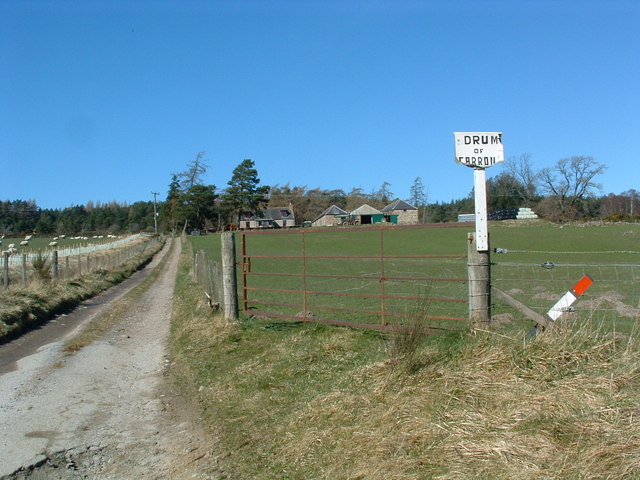
Image: © alan souter Taken: 1 Apr 2007
Silage bales and a tractor outside the outbuildings indicate that this group of buildings is still an active farm.
Images are licensed for reuse under creativecommons.org/licenses/by-sa/2.0
Image Location


Leaflet Map data © OpenStreetMap
Latitude
57.437274
Longitude
-3.303763