Llanvihangel Crucorney boundary signs
Introduction
The photograph on this page of Llanvihangel Crucorney boundary signs by Jaggery as part of the Geograph project.
The Geograph project started in 2005 with the aim of publishing, organising and preserving representative images for every square kilometre of Great Britain, Ireland and the Isle of Man.

There are currently over 7.5m images from over 14,400 individuals and you can help contribute to the project by visiting https://www.geograph.org.uk
Llanvihangel Crucorney boundary signs
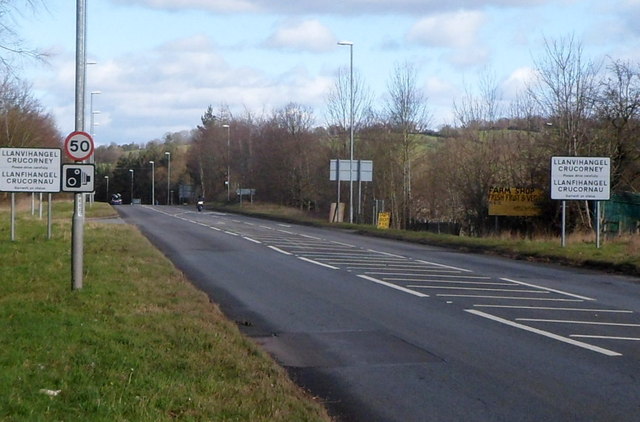
Image: © Jaggery Taken: 19 Feb 2012
The A465 reaches Llanvihangel Crucorney, a small village in northern Monmouthshire, 5 miles (8 km) north of Abergavenny and 18 miles (29 km) SW of Hereford.
Images are licensed for reuse under creativecommons.org/licenses/by-sa/2.0
Image Location
Latitude
51.881425
Longitude
-2.977682