Hilltop Gardens
Introduction
The photograph on this page of Hilltop Gardens by Ian Capper as part of the Geograph project.
The Geograph project started in 2005 with the aim of publishing, organising and preserving representative images for every square kilometre of Great Britain, Ireland and the Isle of Man.

There are currently over 7.5m images from over 14,400 individuals and you can help contribute to the project by visiting https://www.geograph.org.uk
Hilltop Gardens
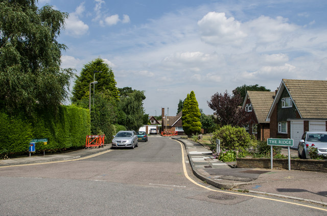
Image: © Ian Capper Taken: 8 Aug 2013
Cul de sac off The Ridge, first shown on the 1961 1:2500 map. At the time this photo was taken, the streetlamps were being replaced with modern energy efficient lighting.
Images are licensed for reuse under creativecommons.org/licenses/by-sa/2.0
Image Location
Latitude
51.372135
Longitude
0.08296