Former Recreation Ground
Introduction
The photograph on this page of Former Recreation Ground by SK53 as part of the Geograph project.
The Geograph project started in 2005 with the aim of publishing, organising and preserving representative images for every square kilometre of Great Britain, Ireland and the Isle of Man.

There are currently over 7.5m images from over 14,400 individuals and you can help contribute to the project by visiting https://www.geograph.org.uk
Former Recreation Ground
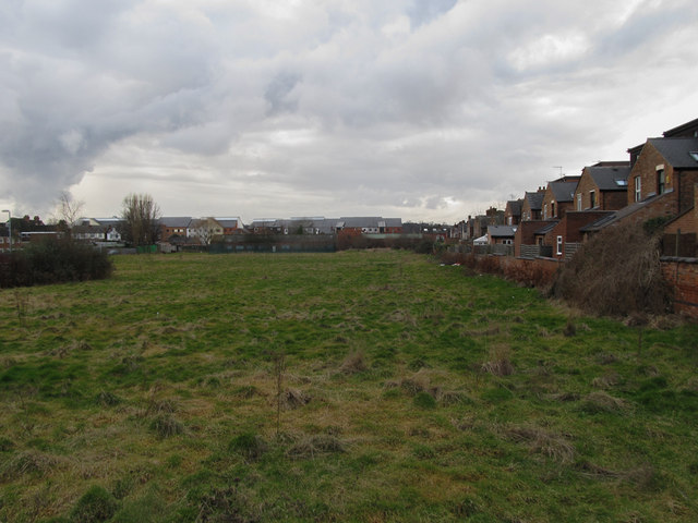
Image: © SK53 Taken: 10 Feb 2014
Most recently this area was the playing fields of Greenholme School (which was located in a much-extended house on Derby Road near the top left of the picture). In the more distant past I believe it have been used by a local cricket club. The adjacent Derby Road Health Centre took a bite out of the original area.
Images are licensed for reuse under creativecommons.org/licenses/by-sa/2.0
Image Location
Latitude
52.950489
Longitude
-1.17824